The Norland Moor Circular
A Circular Walk to Norland Moor
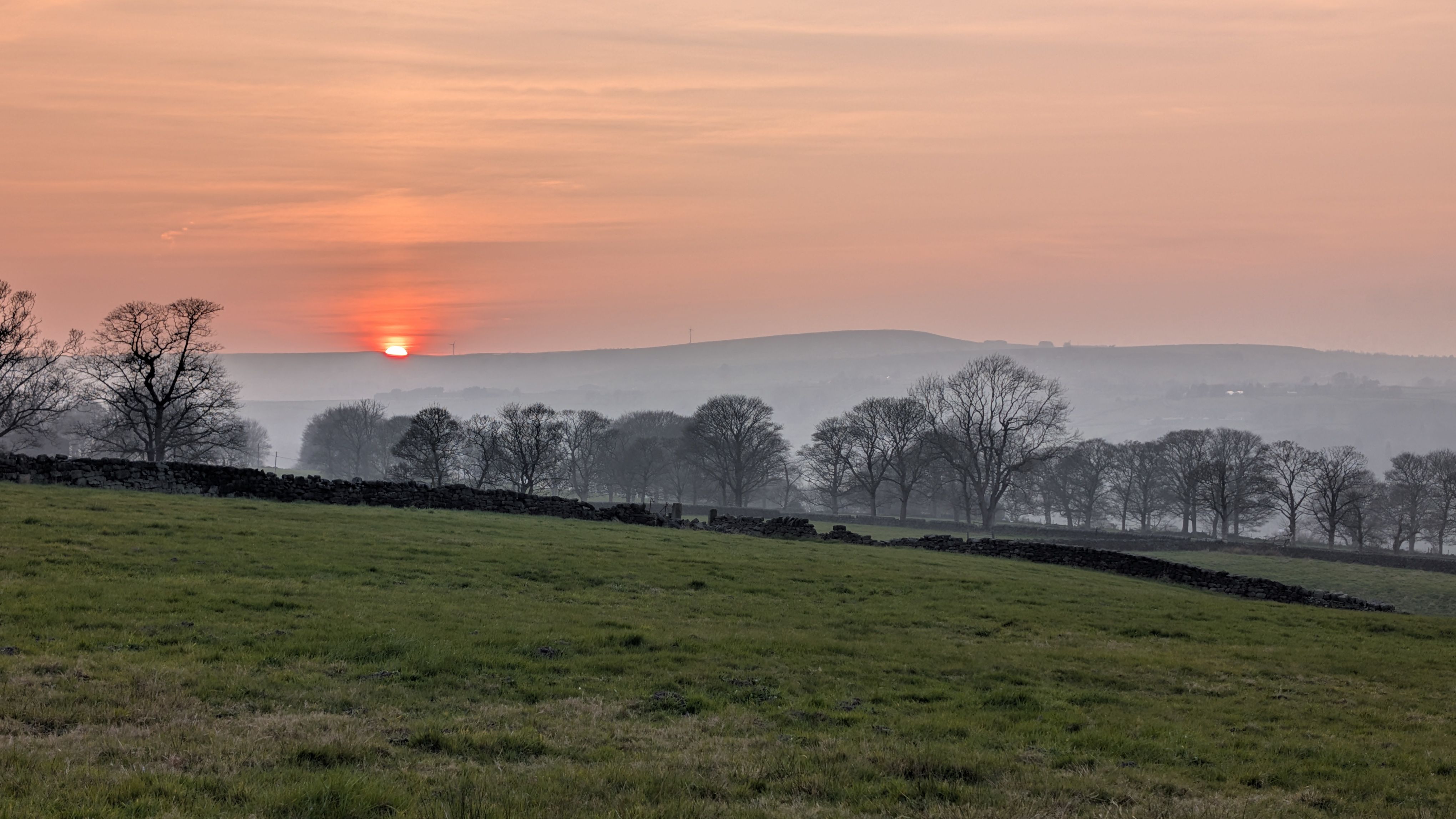
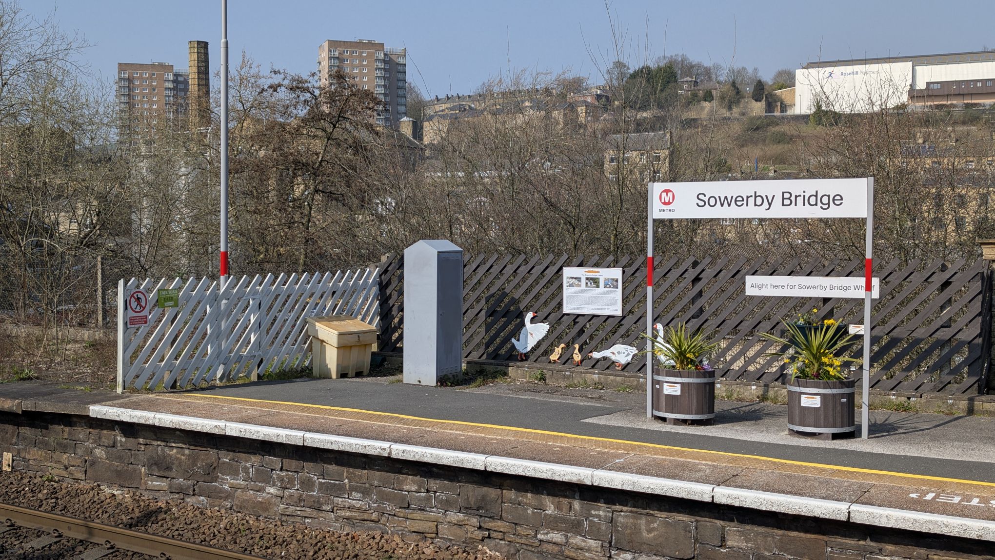
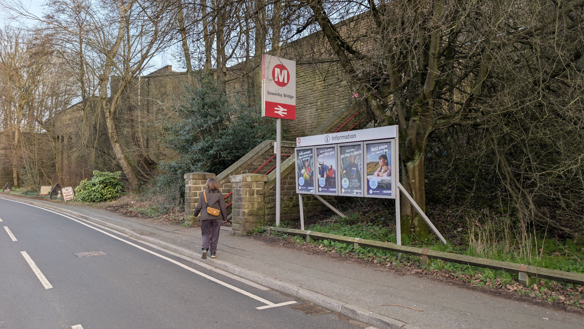
This is a great walk of around 8 miles. It’s quite demanding with some big climbs but in return you get some really rewarding views. It starts and ends at Sowerby Bridge railway station in West Yorkshire. You can catch trains to and from Manchester, Leeds, Bradford and York. If you are going to do the walk in winter, make sure to wrap up warm and wear sturdy boots. Norland moor is high and exposed, and the weather on the tops is often very different to down in the valley.
Download the GPX file here.
The route may be walked in either a clockwise or anti-clockwise direction. We chose anti-clockwise because we wanted to get to the Outhouse Cafe before closing (it shuts at 3pm on Saturdays).
The clockwise direction is arguably superior because that way you save the Ladstone towards the end of the walk and the views from there really make an amazing climax. Anyway, today it’s anti-clockwise so here we go.
Anti-Clockwise Directions
First off, head out of the station on to Station Road. Walk down the hill past the builder’s merchants and turn left on to Norland Road and then immediately right on to Victoria Road.
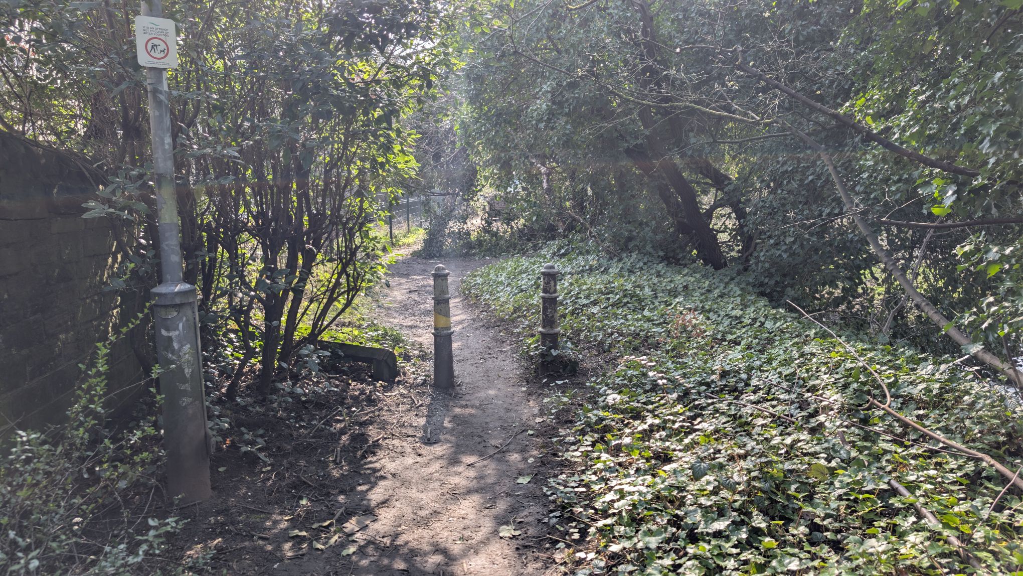
Keep going along Victoria Road until you reach the bridge. On the left just before the bridge there’s a nice little riverside path, take it.
At the end of the short path, turn right and cross the River Ryburn over the bridge.
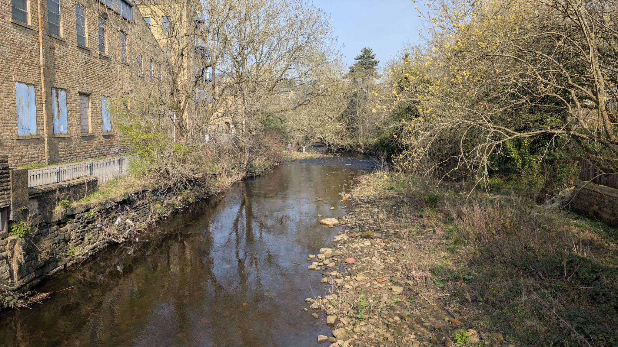
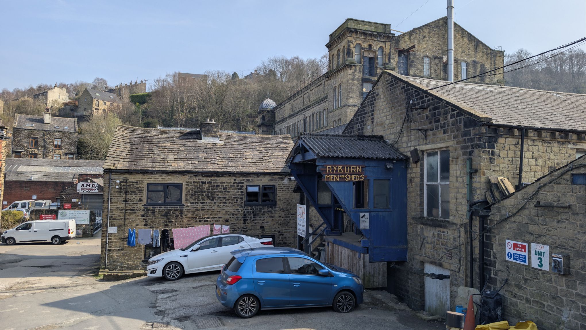
Over the bridge, take the first left onto Water Street. You will see the giant Asquith Bottom Mill looming ahead. Walk towards the mill and then take the first right leading up hill past Ryburn Men In Sheds on the left hand side. Keep going uphill until you reach the main Rochdale Road.
When you reach the main road, take a left. This is the only stretch of the walk on a main road, and it is short. Ahead you will see the petrol station on the left. The path we are going to take is just past it on the left.
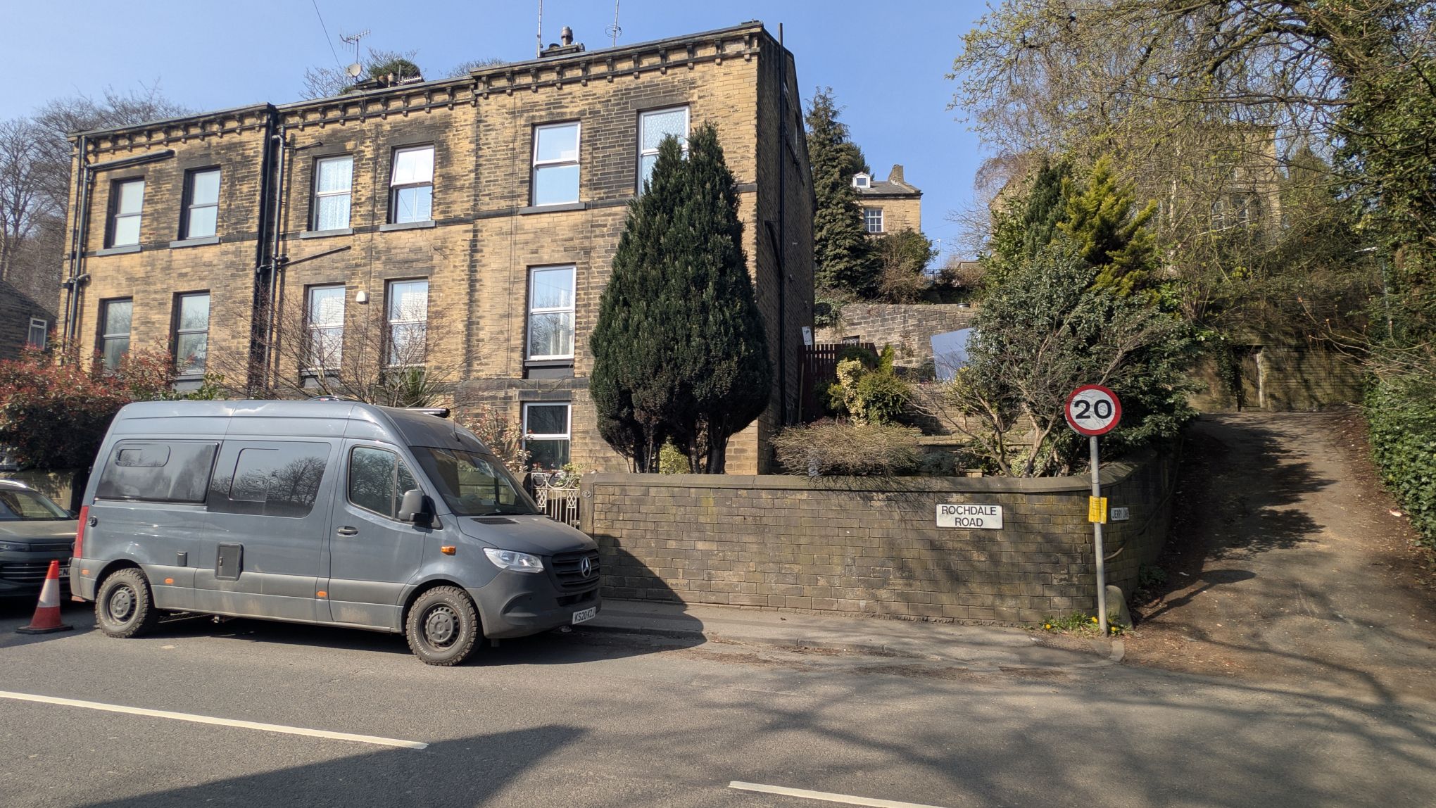
Once past the petrol station, look for the track on the left leading off through the trees. Walk down and you will come to an iron gate. The doorway to the left of the gate is always left open.
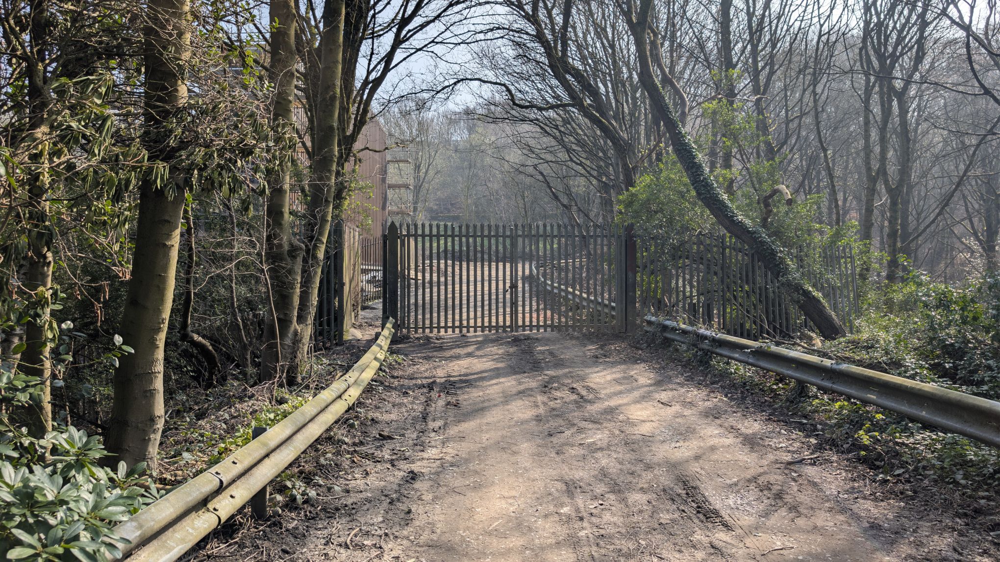
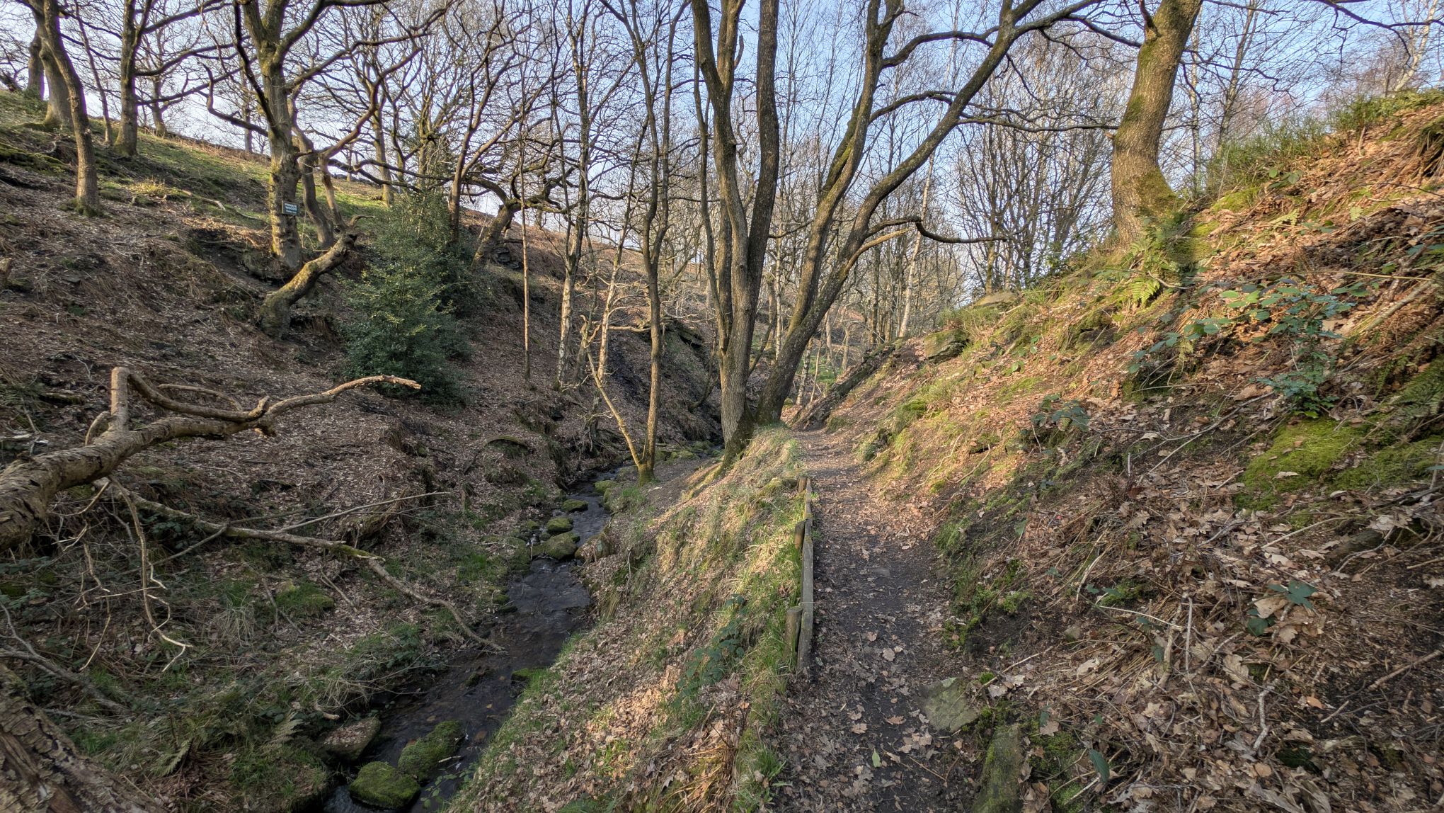
Once through the gate, follow the track to the right and you’re soon on the track bed of the old railway. After passing a small gas installation, walk straight ahead. This part of the walk can get very muddy if it’s been raining a lot, so take care.
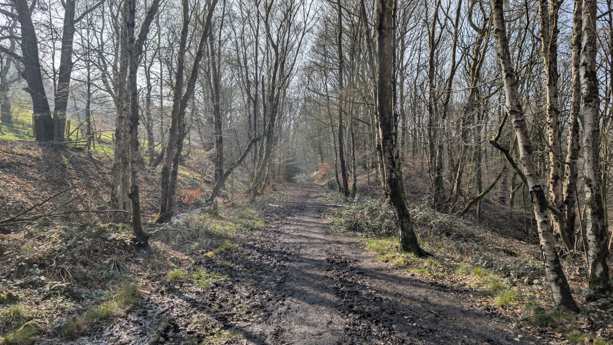
This part of the walk is magical. The old railway line runs almost all the way into Ripponden and is a nice walk in itself. Today we’re just going to follow it as far as the third bridge that crosses over the top of the line.
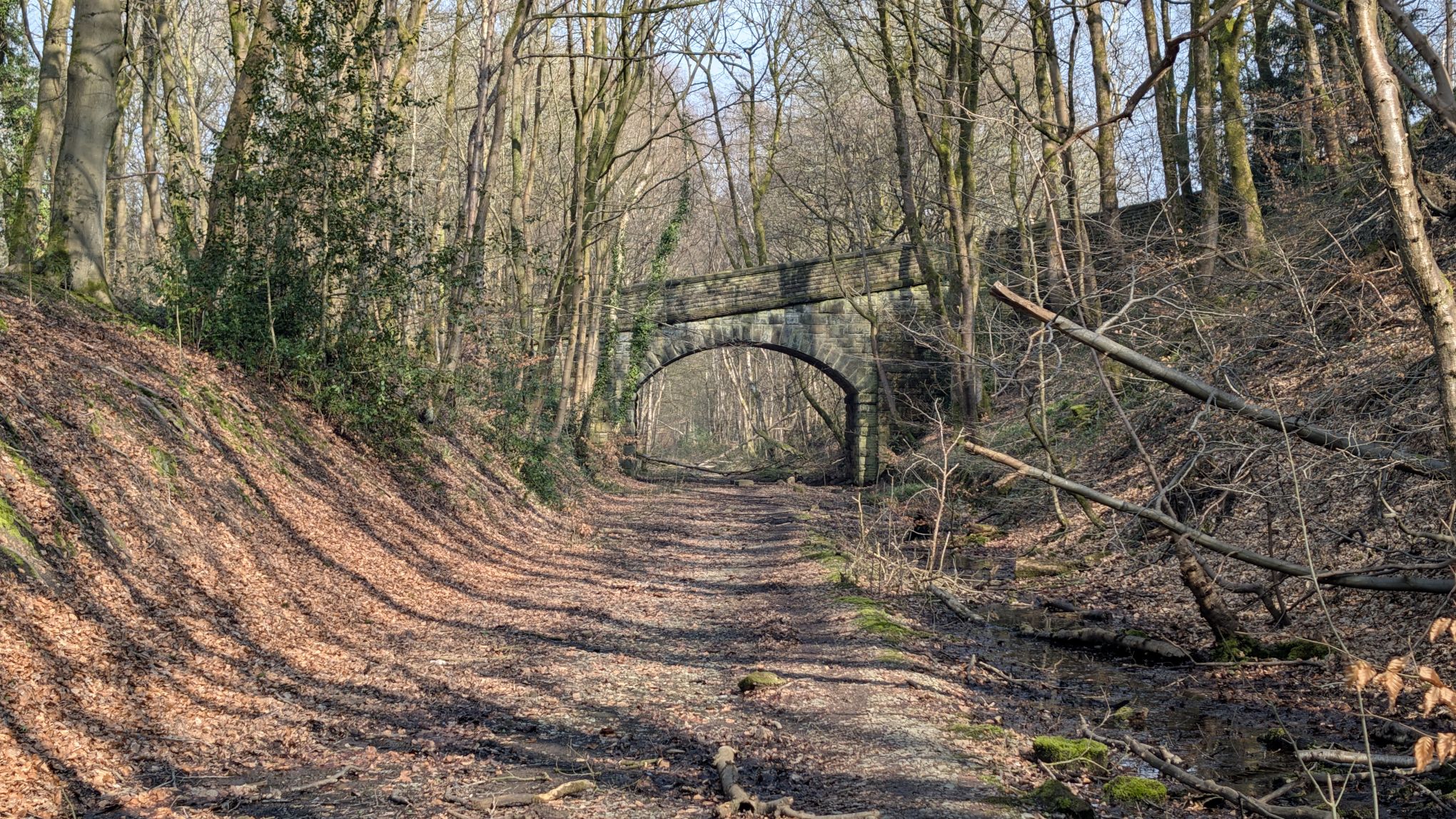
Soon after you pass under the second stone bridge that crosses over the line, an old iron footbridge comes into view. We are going to take that bridge and follow the path into the fantastically named Dodge Royd Woods up on the left of the railway line. When you get to the bridge, you can see a path on the right that leads up and over the bridge.
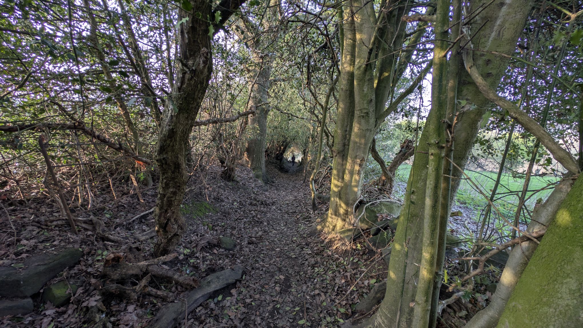
Once over the bridge look for a path that cuts up the hill diagonally to the right through the trees and ignore the path that goes straight up the hill. In the springtime this wood is carpeted with bluebells and the path is particularly beautiful.
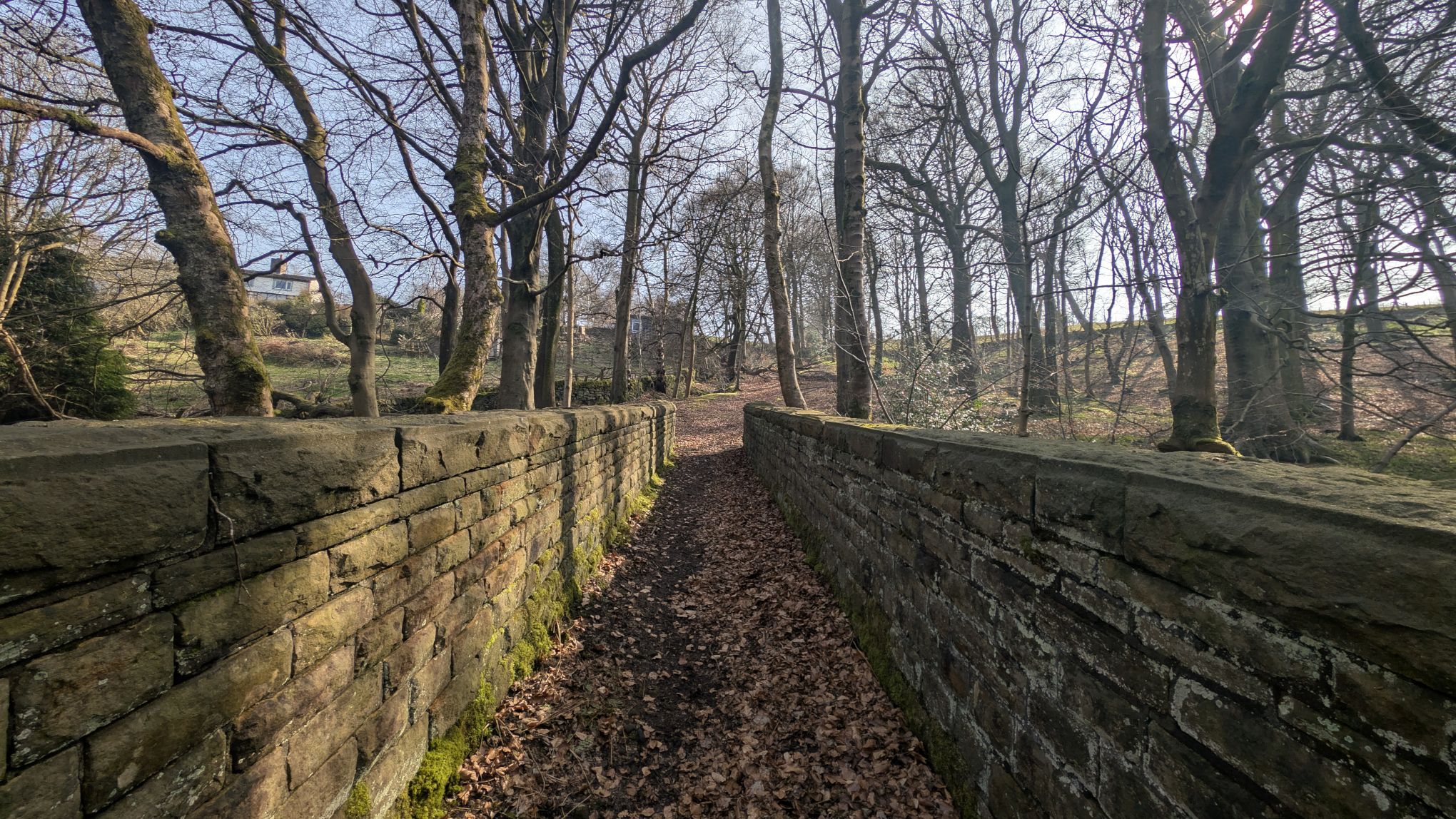
As you come out of the woods you will go through an old stone style and onto a pasture. Walk straight ahead until you come to another style. Cross the style and turn left steeply up hill onto a track.
This is where the walk gets a bit more serious because it’s pretty much uphill all the way until we reach the Ladstone (and from there it’s a lovely downhill all the way home). The good news is that we come to Outhouse before we get to the top and that is always a good excuse to stop and have a rest and a bite to eat.
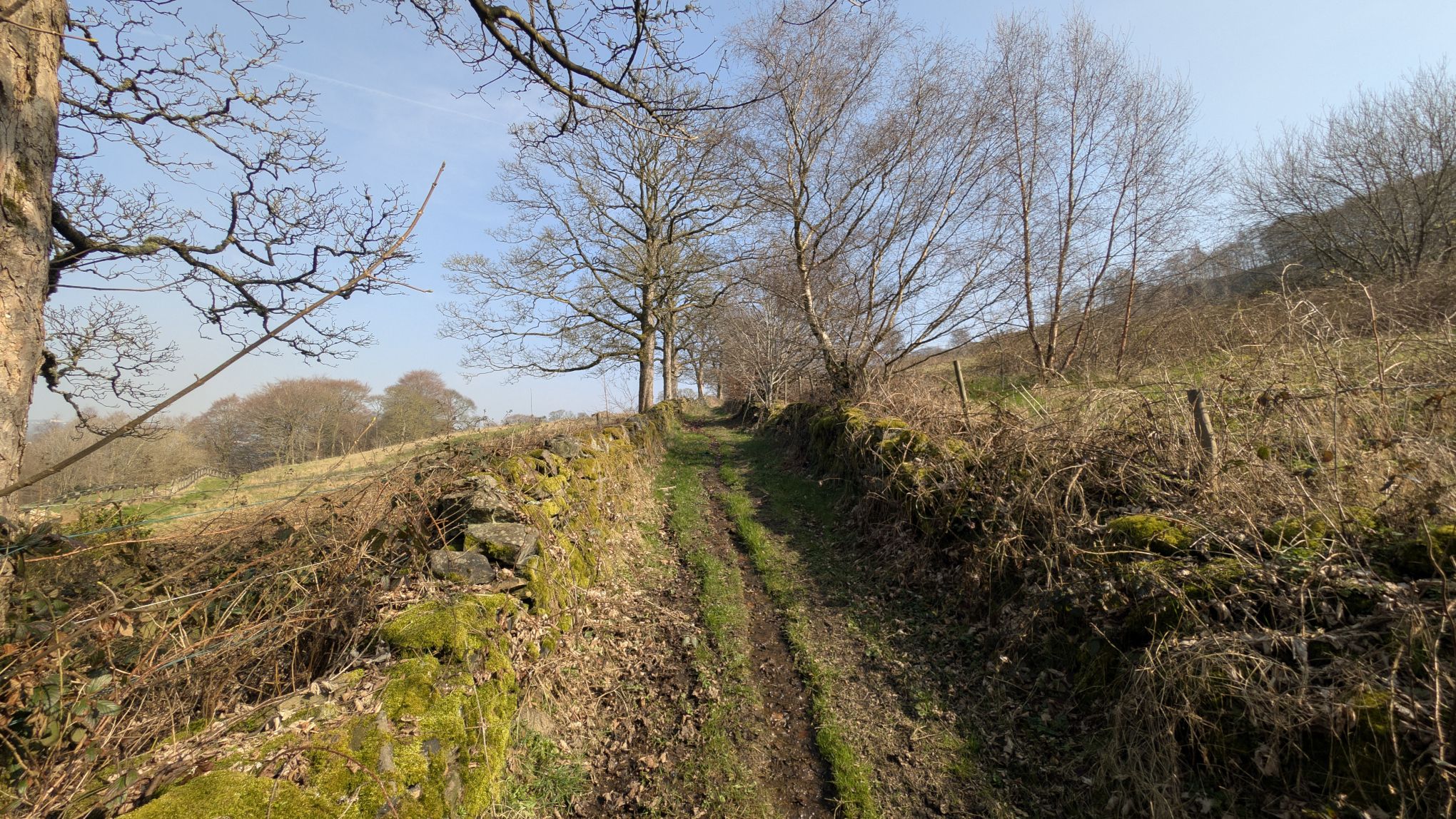
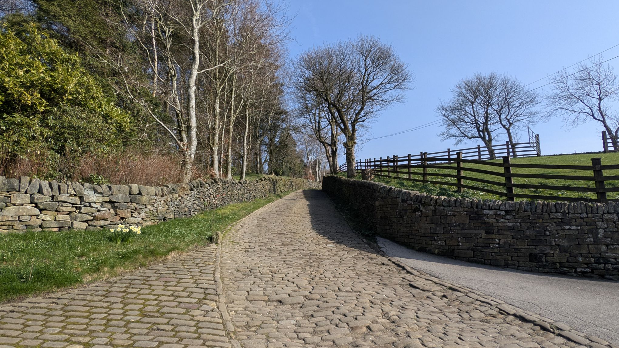
Follow the track up past some houses and before long it turns sharpy to the left and becomes cobbled. This is the start of Longley Lane. Follow it all the way up, up towards the attractive hamlet of Longley which lies ahead.
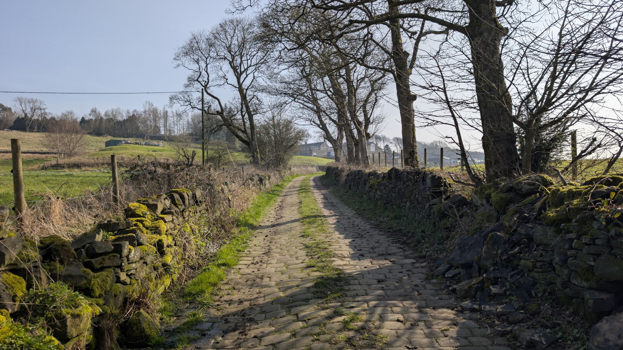
As you climb, the views over the Ryburn valley open up and if it’s a clear day you can see for miles over the hills.
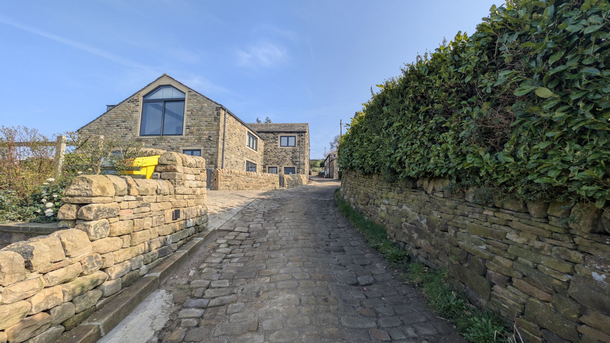
Once you pass through the hamlet, keep walking straight ahead on the cobbled road of Longley Lane. The road continues to steeply uphill as Norland moor becomes visible in the distance.
Keep going until you see a tarmac road off to the left and take it. After a few minutes you will pass a converted chapel and eventually a terraced row of houses.
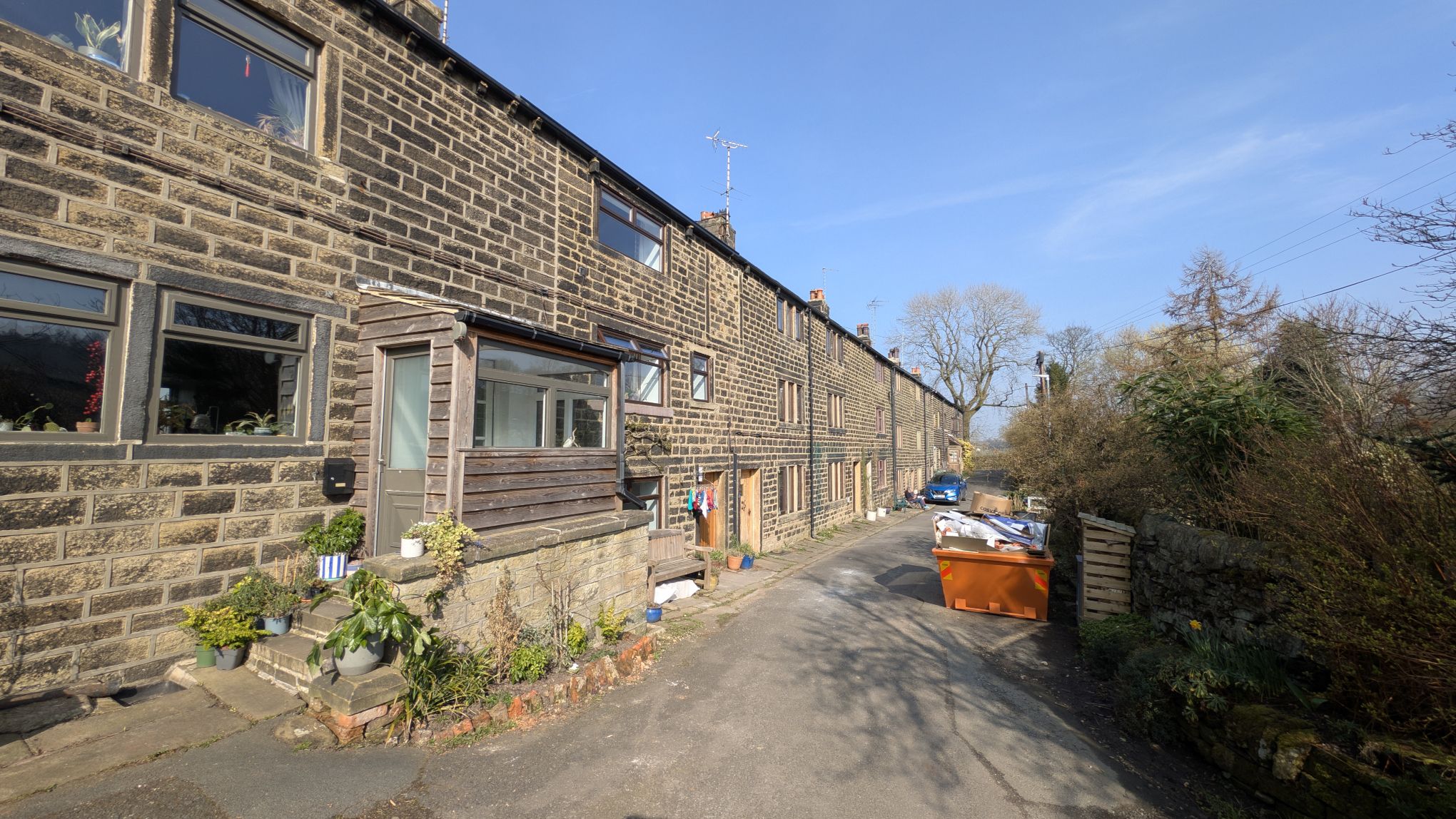
Pass by the houses and continue to the junction with New Longley lane. At the junction turn right. Ahead you will see the Outhouse Cafe on the left of the next junction.
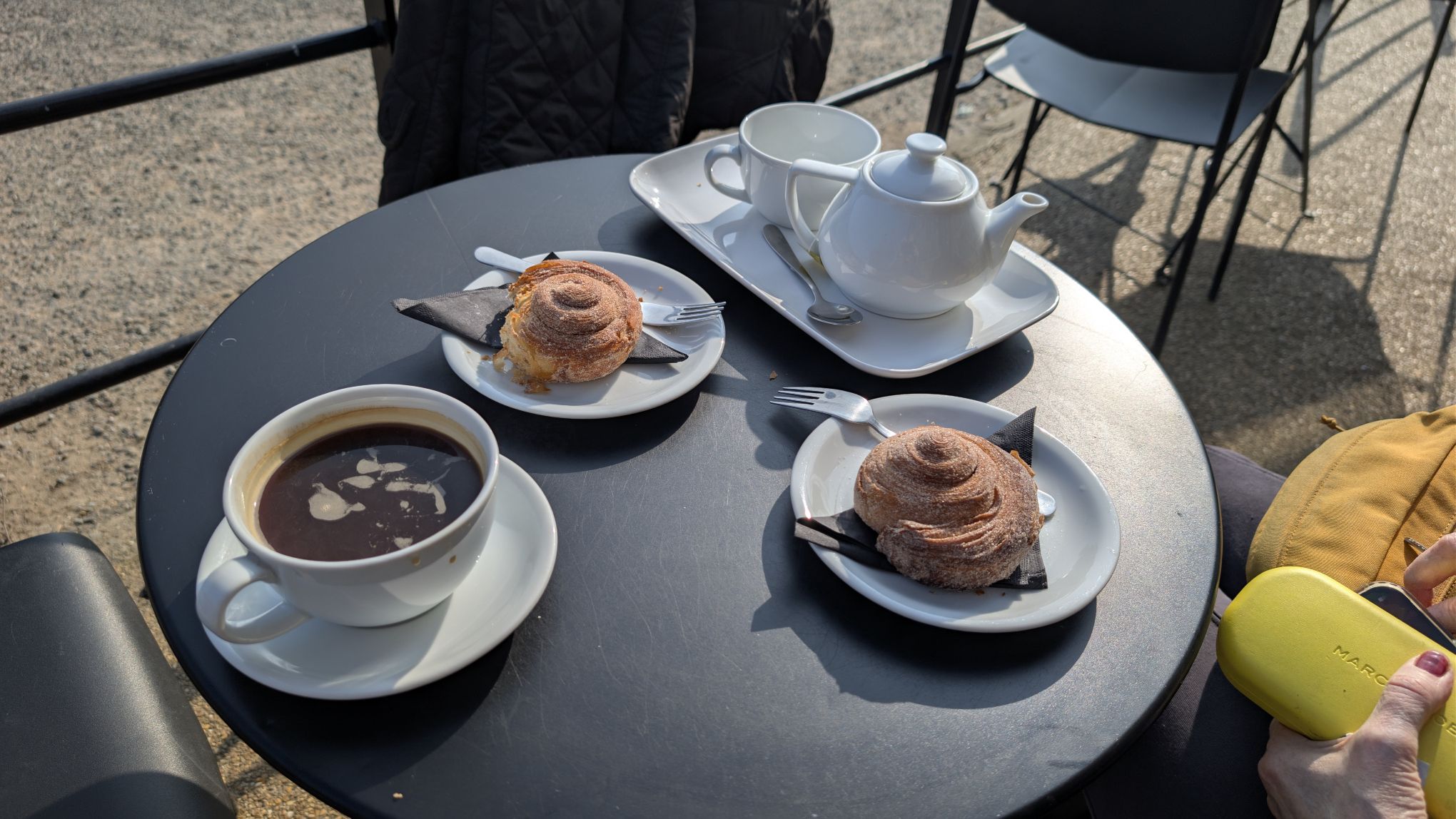
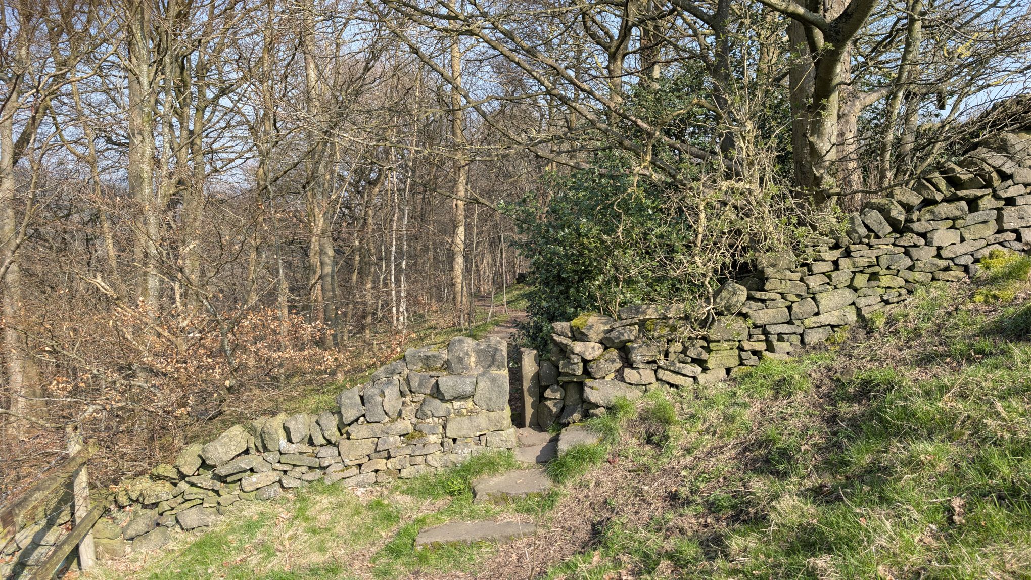
Once you’ve finished your coffee, it’s finally time to get up on to Norland Moor proper. Opposite the cafe there’s a small car park. Walk through the car park and take the path at the far side that rises steeply uphill. At the first junction, take the path to the right. This brings you up on to the moor and the views really open up. Not far ahead is Ladstone Rock.
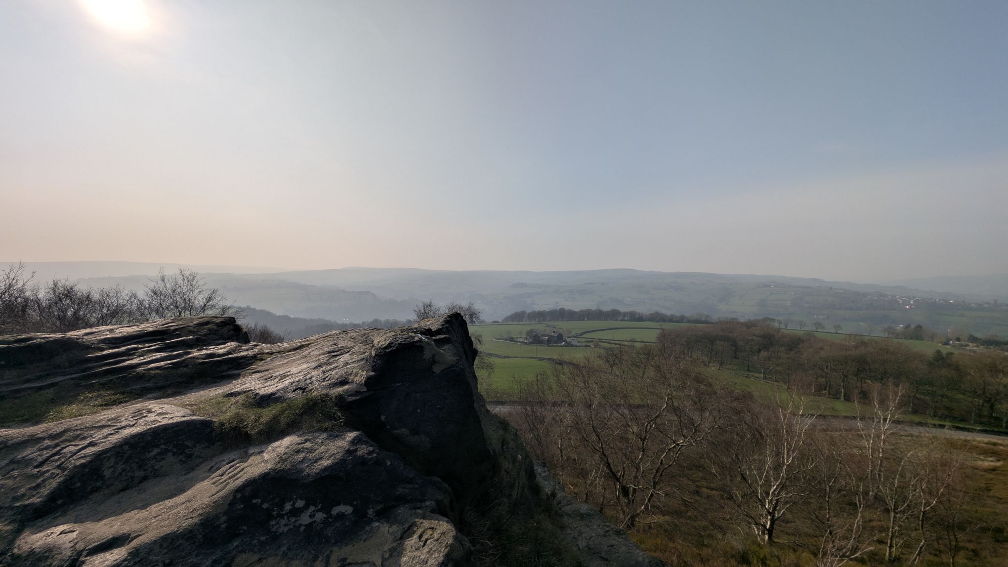
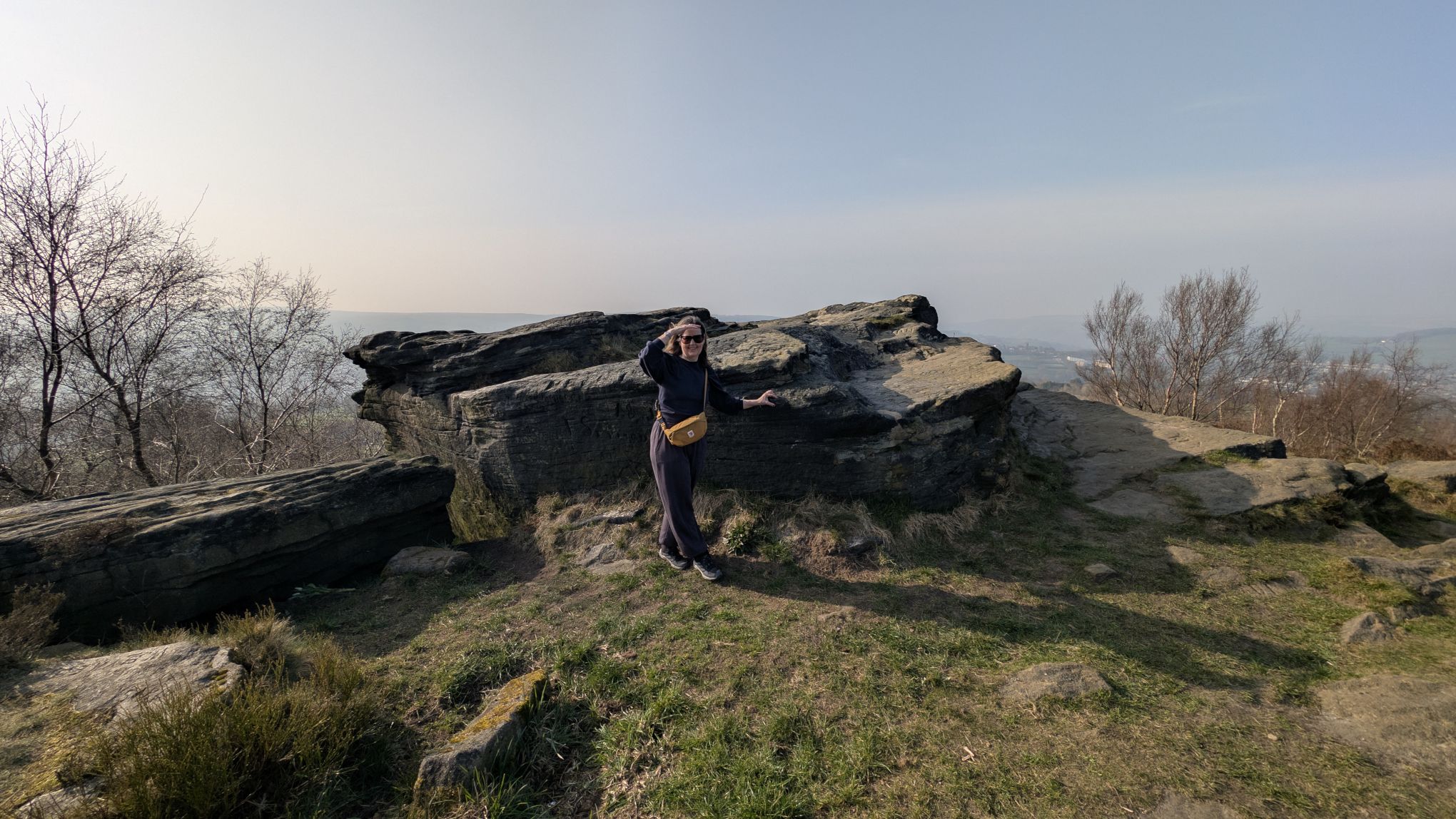
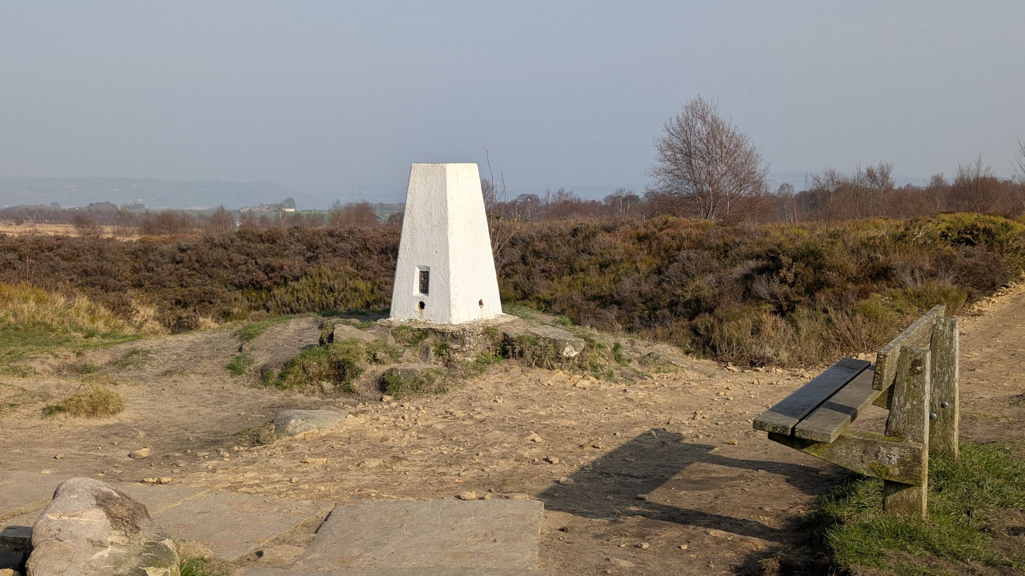
I wrote a bit about the Ladstone in another blog post. Suffice to say it’s a special spot. It features in “Last tango in Halifax” and has the reputation of being the best view around here. Local legend suggests it was a druidic sacrificial site or a place where “witches” were thrown to their deaths in the Middle Ages. The name is thought to derive from the Celtic word lladd, meaning to “cut” or “kill”—hence, “Kill Stone”. The rock features various inscriptions, including names and dates carved over decades, as well as a small metal plaque inscribed with a biblical psalm.
Now we turn towards the moor and away from the Ladstone. Just ahead in the white trig point the marks the summit of the moor. Head for that.
When you get to the trig, turn right and follow the path until you see a wooded area come into view. The next path is on the left, running through the trees.
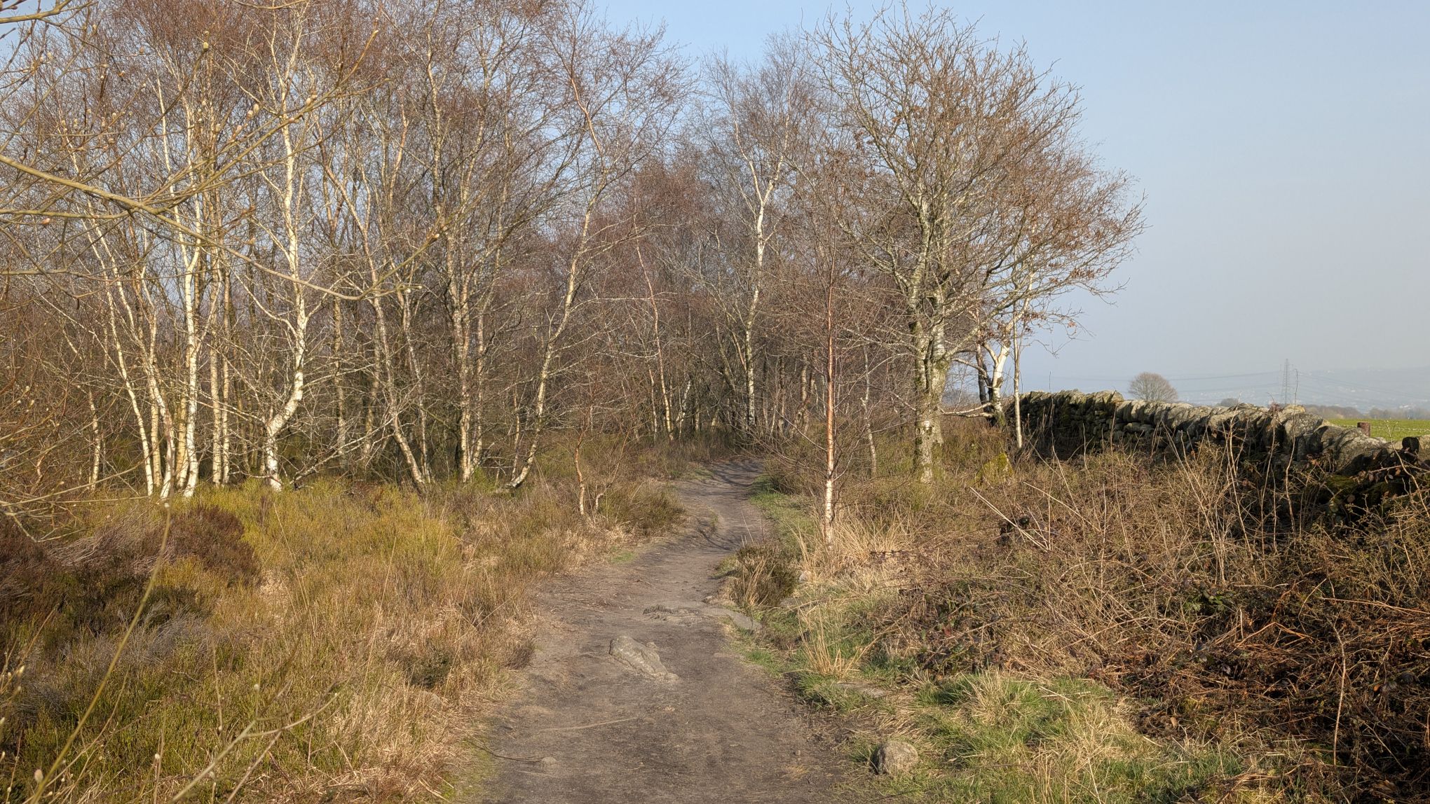
Follow the path through the trees until you come to the end of the wood. Where the trees finish there’s a junction. Turn left and follow the rough path slightly downhill and past a large stone. At the next junction turn right. This path traces the edge of the moor and we will follow it for some time.
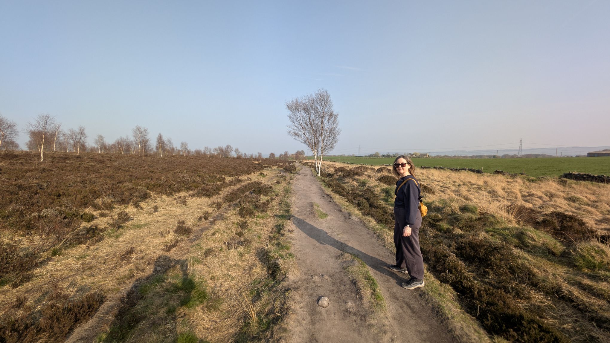
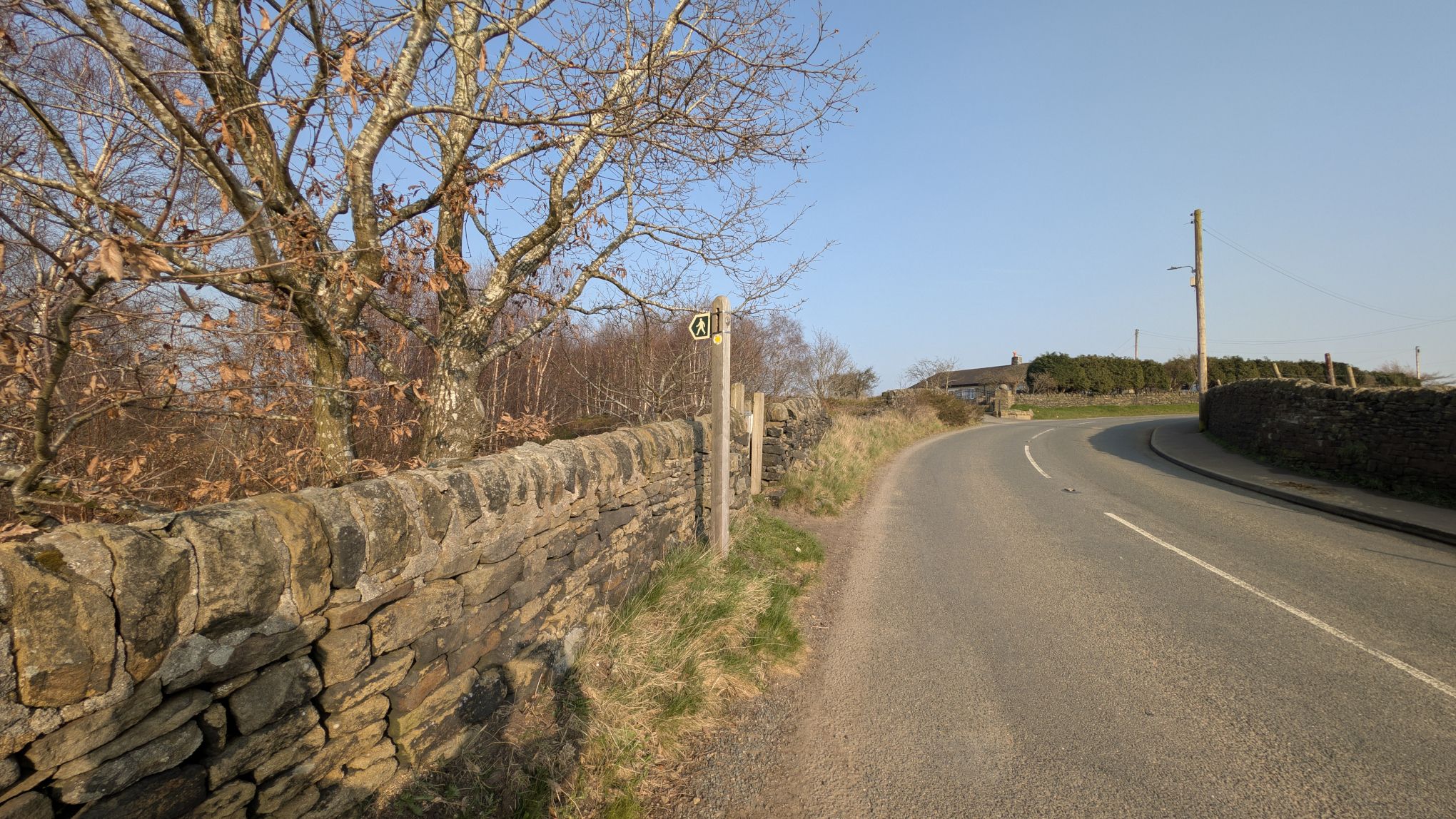
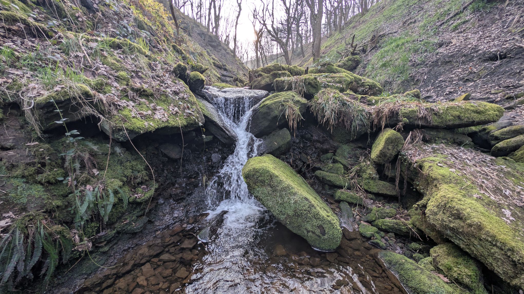
Keep going straight on, past several small cairns and a pond. Eventually you will arrive at ta junction, take the path to the right. This will take you gently downhill and to the road. Cross over the road and look for the footpath sign. At this point we will join the path that takes us down the beautiful Maple Dean Clough.
Now the character of the walk changes significantly. Instead of open skies and moorland, we’re into a pretty valley with the sound of running water. Maple Dean Clough feels like a hidden world.
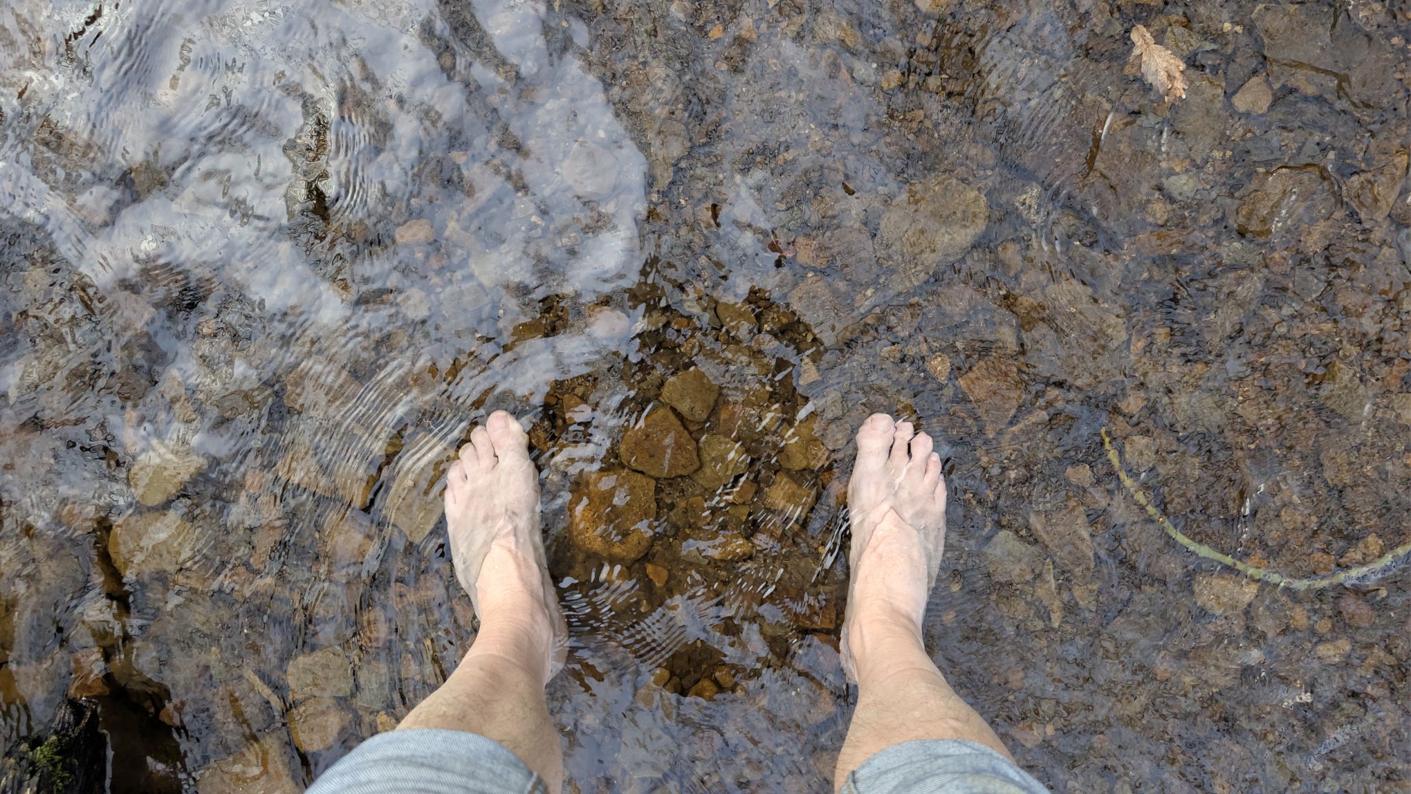
Eventually you cross the stream, and just below the crossing point is a nice place to stop and have a paddle. In summer the stream gets quite low but today there’s a lot of water becuase it’s March and it’s been raining for like three months without stopping.
Being March, the water is cold, but after a few miles walk, it feels great.
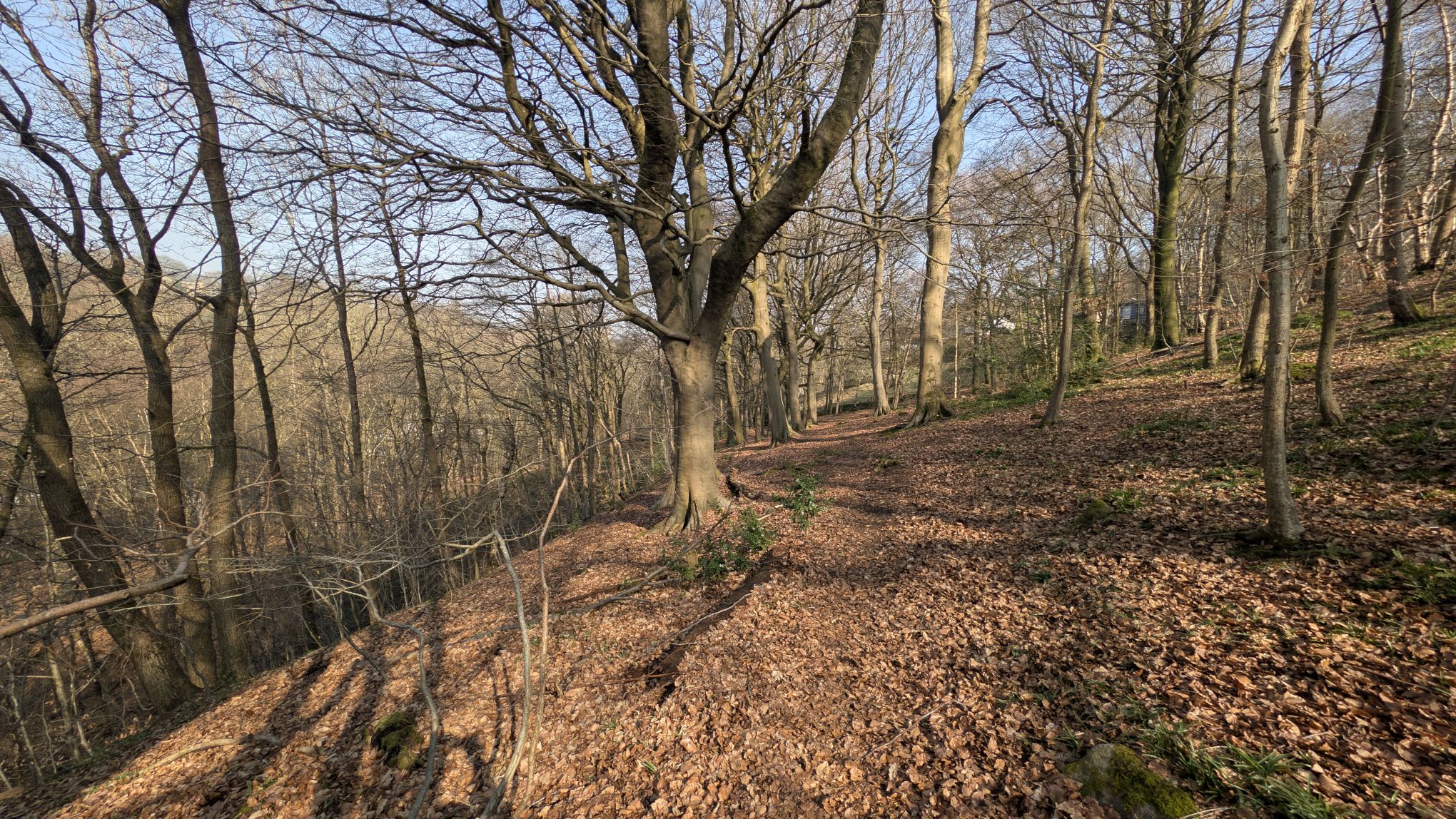
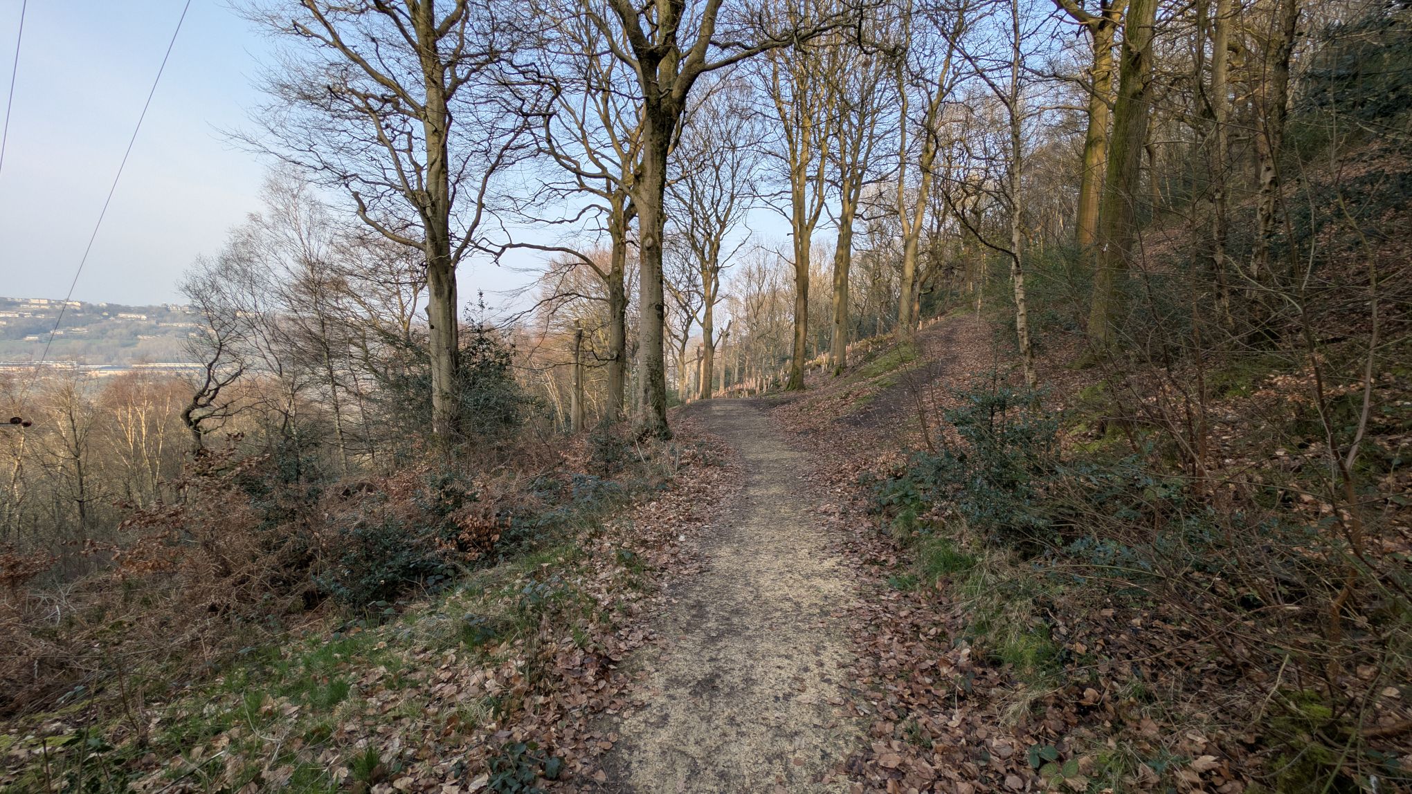
Continue down Maple Dean Clough, and take the path as it bear right through the trees. We are now into the margins of North Dean Woods, a large expanse of woodland that runs between here and West vale.
Eventually the path emerges from the tree to join the track called North Dean Road. Walk pat Tinker Hey Farm, and turn left at the junction. Just as you come to the house called Lower Tinker Hey, there is a footpath sign pointing left. Climb over the style and follow the path downhill.
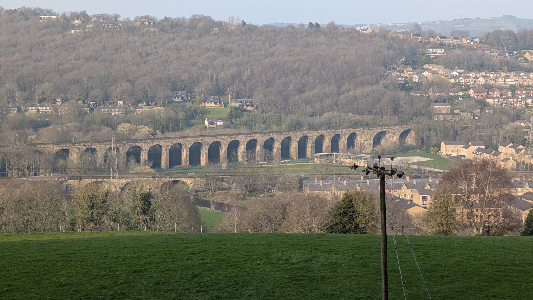
Away across the Calder valley you get a fantastic view of Copley Viaduct that carries the Caldervale railway line between Leeds and Manchester.
As the path takes you down hill, you join and ancient track which takes you through a beautiful old tunnel of trees.
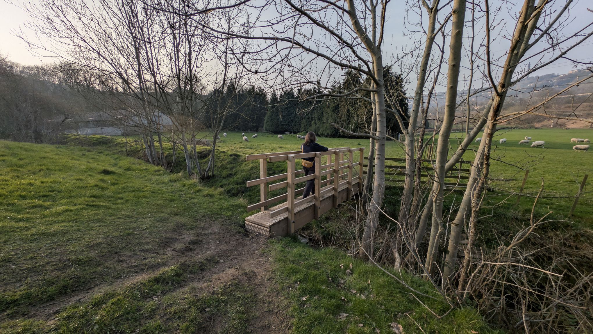
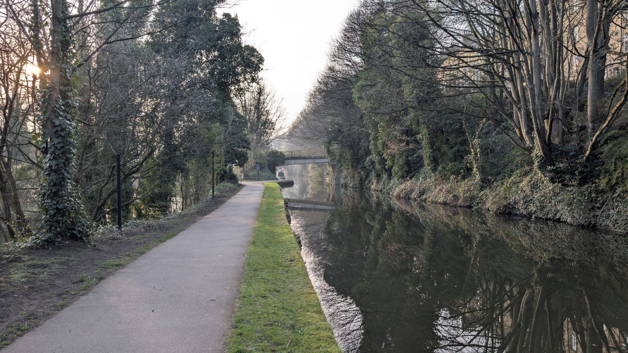
Out of the tunnel, carry on downhill. Just across the next field is a brand new wooden footbridge that takes you safely Across Maple Dean Clough. Follow the path to the road and take a right. Follow the road under the railway and out to a junction with the main road. Turn right here and cross the bridge over the River Calder. After the modern houses on the left, cut through and join the canal. Turn left back towrds Sowerby Bridge. This stretch of the Aire and Calder navigation is lovely and quiet and will take us all the way back to the Sowerby Bridge Canal Basin.
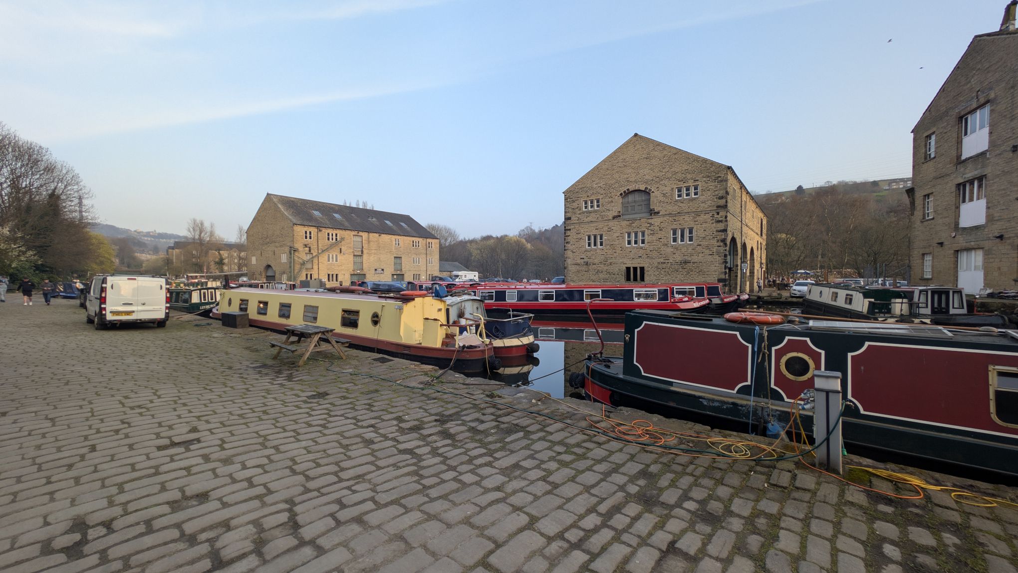
…and that’s it, we’re back where we started. I really hope you enjoy(ed) the walk. I’ve got some more walks planned for the spring and summer. There are some amazing places around these parts and I feel like they often get overlooked for more popular spots like Hebden Bridge.
If you have any questions or feedback, feel free to reach out to me on X or Mastodon!